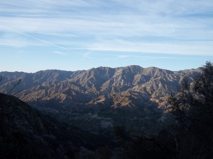
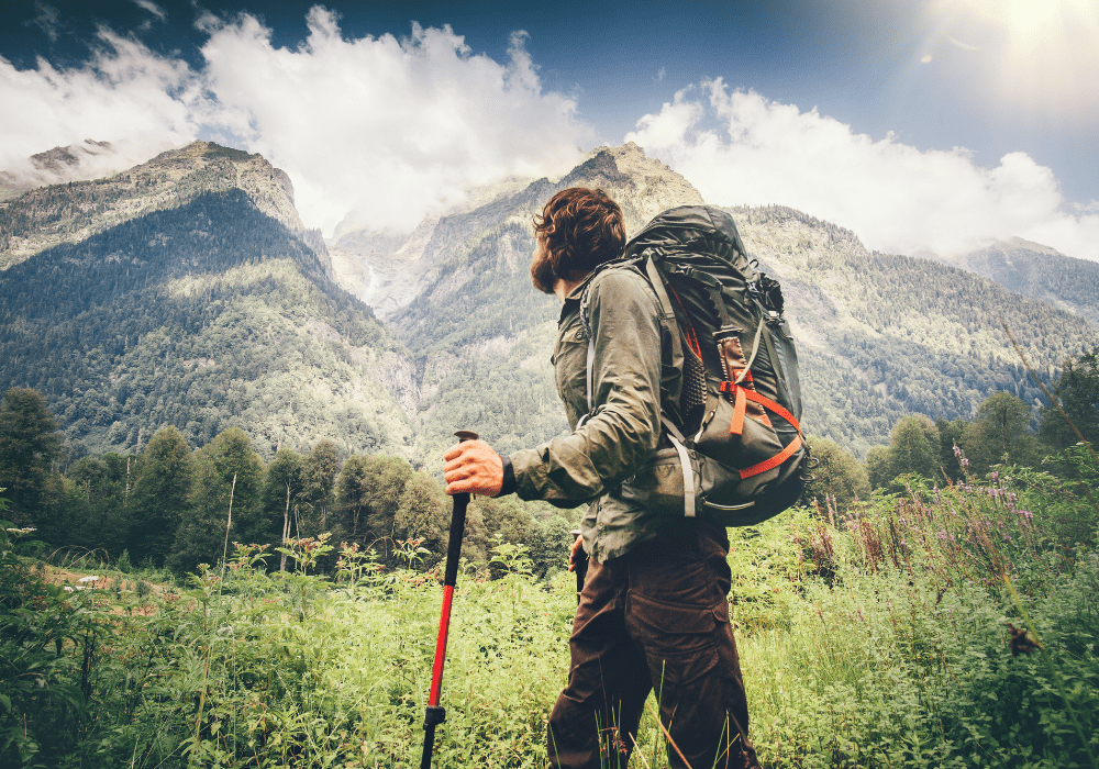
Mount Lukens
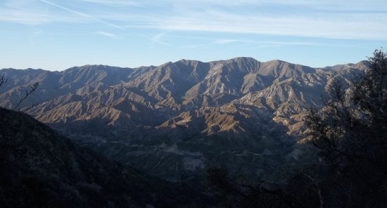
Photo by peakery.com
Location: Angeles National Forest, Los Angeles County, CA
Miles: 7.5 miles
Difficulty: Moderate – Difficult
Duration: 4 hours
Users: Hikers, dogs, horses, and mountain bikes permitted. No wheelchair access.
Features: Mount Lukens, Big Tujunga Creek, Stone Canyon Trail, Sister Elsie Peak, sunny trail, views of downtown Los Angeles and the Verdugo Mountains, and views of the Pacific Ocean and Catalina Island on clear days
Table of Contents
Mount Lukens
Mount Lukens can be accessed via Dunsmore Canyon. It is a 14.8 kilometer heavily trafficked loop trail near Glendale, California. It features a river and not much shade. The Mount Lukens trail is mostly for hiking, running, nature trips, and bird watching. Your choice to take the trail clockwise or counter clockwise!
Within L.A.’s city limits, Mount Lukens is the highest point of elevation. The summit stands some radio towers and fire roads. It’s not exactly the most ideal outdoor summit in the San Gabriels, but the views are excellent and the journey is challenging but rewarding.
Top 3 Adventure Hacks
1) Stay hydrated
If you go on a sunny day, make sure to bring enough water to get through your hike.
2) Wear a cap
There’s no shade anywhere if you take this hike, so be sure you have headgear that can at least provide shade in your facial area and protect your eyes from the sun.
3) Munch on trail mix!
Don’t forget to fuel yourself with food while you’re on that trail. Pack some Trail Mix to get you energized!
Related Posts
GETTING HIGH & SOMETIMES LOW: Humphreys Peak, AZ – 2/26/22 & 6/4/22
This is the second of our Getting High Series where
Backpacking on a budget: Is it Possible? 9 Reasons The Answer is, Yes!
Backpacking is a wonderful pastime that gets you healthier