
Seiad Valley to Oregon Border – Pacific Crest Trail
Table of Contents
Seiad Valley to Oregon Border – Pacific Crest Trail
Location: Klamath National Forest, Siskiyou County, CA
Difficulty: Difficult
Features: Hiking trails, dogs allowed, horseback riding, incredible scenery
The Pacific Crest Trail is known as one of the most beautiful and breathtaking trails in the world, trailing nearly 13,000 miles from the Mexico – US border to the US – Canada border in British Columbia. The Pacific Crest Trail, also known as PCT, is the second longest trail in the United States. The trails passes through 25 national forests as well as 7 national parks. The trail even passes through the Sequoia and Kings Canyon National Park.
The Seiad Valley to Oregon Border route is only a portion of the entire Pacific Crest Trail. The 32.1 mile routes starts with a steep climb out of the Klamath River. This is actually the final leg of the PCT and features the Kalamath River Valley, Upper Devils Peak as well as stellar view of Mount Shasta.
Top 3 Adventure Hacks
1) Stay hydrated
This route is actually the final leg of the PCT. Nevertheless, it is still important to stay hydrated. Bring extra bottles of water or use a carabiner if there is not enough space inside your bag.
2) Filter your water before drinking
Backcountry water must be treated for Glardia Lamblia, a parasite that causes gastrointestinal upset. You can boil water or use a dependable water filter system.
3) Stay fueled
Bring food with you that will give you energy – energy bar, trail mix, beef jerky, and high sugar snacks.
Related Posts
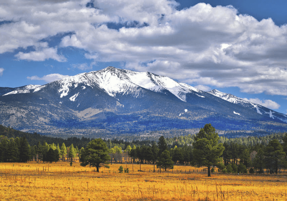
GETTING HIGH & SOMETIMES LOW: Humphreys Peak, AZ – 2/26/22 & 6/4/22
This is the second of our Getting High Series where
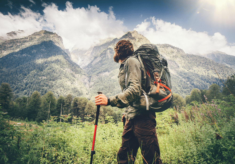
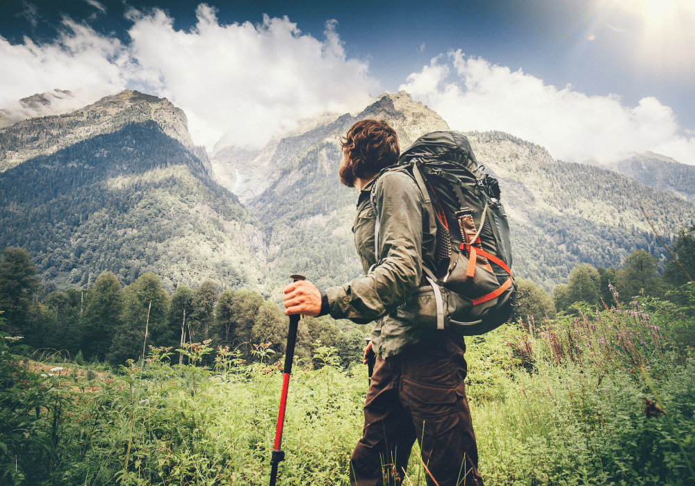
Backpacking on a budget: Is it Possible? 9 Reasons The Answer is, Yes!
Backpacking is a wonderful pastime that gets you healthier
Sorry, the comment form is closed at this time.