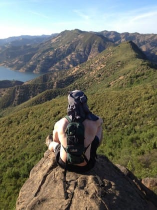
Hikers have a few options depending on time and ability. Once you cross the street from the dirt parking lot, you can walk to the lower entrance that will take you on a 5 mile loop, the first portion being moderate, and ending on a steep downhill portion once you reach the summit.
Many hikers do not take this hike as a loop, and instead start and end at the upper entrance reached further up the road across the street from the parking lot. This entrance is reached through a gate, and leads to the portion of the trail that is dog-friendly. Note that taking the trail from this entrance is going to be very steep!
You can either hike to the summit and turn around, or continue on to make the hike a loop, ending at the lower entrance.
Location: Solano County, CA
Miles: 5 miles
Difficulty: Difficult
Duration: 3 hours
Users: Hikers and dogs permitted, horses, and mountain bikes permitted (dogs permitted for the first 3 miles). No wheelchair access.
Features: Aerial views of Lake Berryessa, bird watching (swallows, falcons, eagles, vultures), views of Sutter Buttes and Snow Mountain
From Winters, follow HWY 128. You will pass Canyon Creek Resort, which means you are getting close. About 0.5 miles past the resort, you will come upon a dirt parking lot that may be hard to find if there are few cars parked!


