East Bay Skyline National Recreation Trail – Richmond California
Table of Contents
East Bay Skyline National Recreation Trail
Location: Richmond, CA
Difficulty: Moderate
Features: Hiking trails, bird watching, free parking, lush greenery
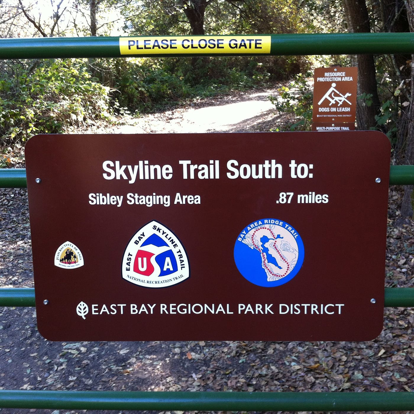
The East Bay Skyline National Recreation Trail is a Bay Area trail that runs north to south along the east bay of the Berkeley/Oakland hills along the Alameda and Contra Costa counties. The trail commences from the Wildcat Canyon Park in Richmond, ascending to the San Pablo Ridge, through the Tidlen Park and then back to the trail after Inspiration Point. From Tilden is crosses Sibley Volcanic Regional Preserve, transvering into the Redwood Regional Park, Redwood Rad, and ascends to Chabot Regional Park. The trail ends at the Proctor Gate in the San Leandro/Castro Valley area. The trail features various terrain, from oaks Savannah, Redwood groves, chaparral, and eucalyptus.
Top 3 Adventure Hacks
1) Stay hydrated
You sweat about half to one quart of fluid for every hour you walk in the heat – and around 3 quarts if you walk uphill. Thus it is important to stay hydrated.
2) Filter your water before drinking 
Backcountry water must be treated for Glardia Lamblia, a parasite that causes gastrointestinal upset. You can boil water or use a dependable water filter system.
3) Stay fueled
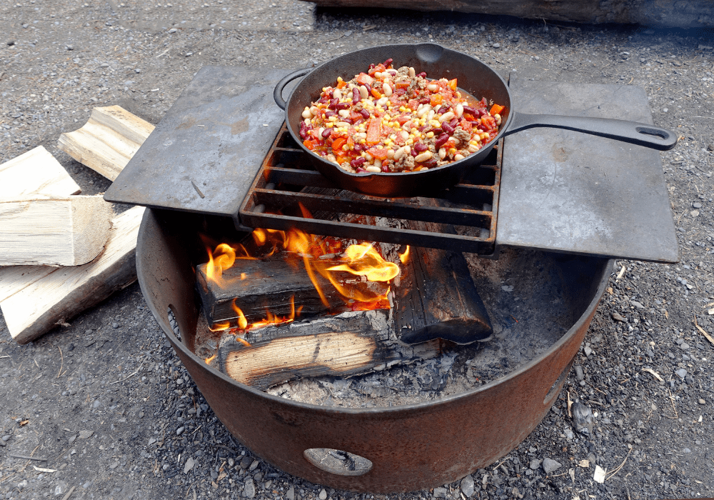
Bring food with you that will give you energy – energy bar, trail mix, beef jerky, and high sugar snacks.


