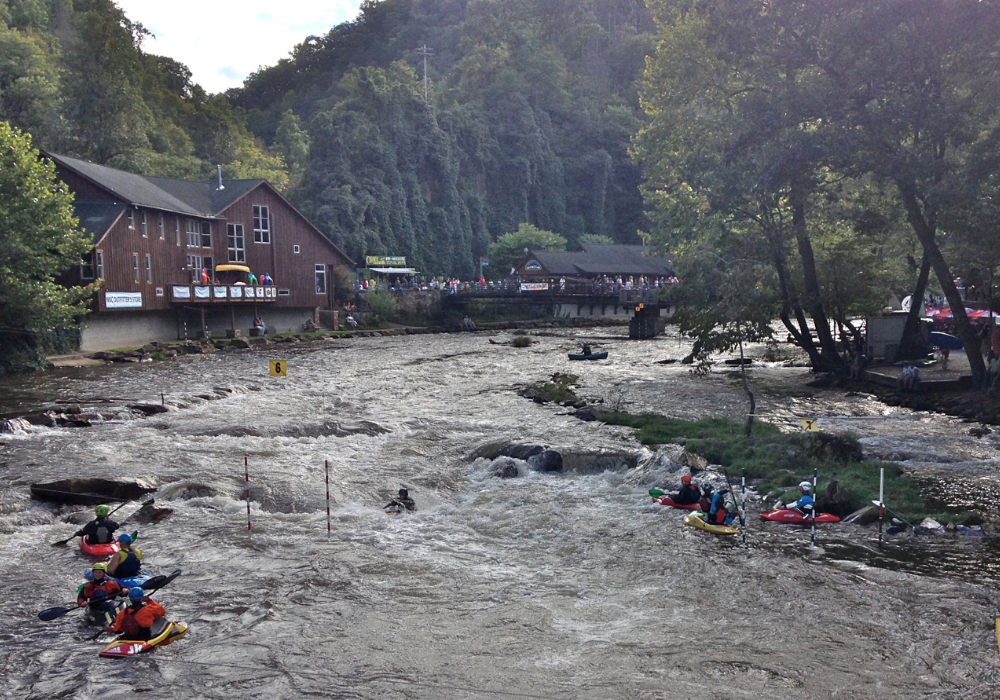
Nantahala River to Cheoah Bald, Appalachian Trail
Location: North Carolina United States
Features: backpacking, hiking, mountain views, nature trip, bicycling
Table of Contents
About Nantahala River to Cheoah Bald, Appalachian Trail
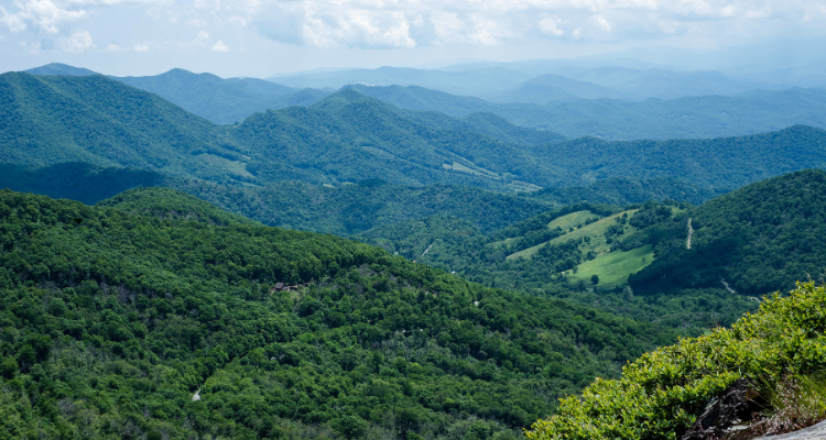
Nantahala River to Cheoah Bald, Appalachian Trail is a 16.2 mile moderately trafficked out and back trail located near Bryson City, North Carolina that features beautiful wildflowers and is rated as difficult. The trail offers several activity options and is best used from March until October.

Cheoah Bald stands at 5062 feet and is traversed by the Appalachian Trail. It lies smack in the middle of one of the greatest outdoor recreation areas in the Southeast. Cheoah Bald can be approached from the North via Stecoah Gap or from the South from the NOC, Nantahala Outdoor Center. Both sides provide a moderately strenuous hike to the top.
Here are 20 Places To Rest While Hiking The Appalachian Trail.
Top 3 Adventure Hacks
1) Weather Condition
Careful with weather. They get snow up here in the winter and the mountain can see weather changes similar to the nearby Smokies.
2) Alternative parking
The picnic area along the highway is not easy to spot, and the small parking area may be full. You can also park on FR 422 which is crossed by the Bartram Trail. The road is located 0.25-mile northeast of the picnic area.
3) Planning A visit
Before planning your trip, check current condition Always be aware of the threat of storms, lightning, snow and be prepared for a wide range of weather conditions. It is always best to Check the weather forecast. Make sure to pack your essential outdoor gear:
- plenty of water
- snack
- bug spray/insect repellent
- hiking shoes
- mountain bike
- dress for the weather.
And bring all your energy when you come at Nantahala River to Cheoah Bald, Appalachian Trail,



Pingback: 20 Places To Rest While Hiking On The Appalachian Trail