
Michako Trail – Mount Burdell Open Space
Location: Novato, CA
Difficulty: Moderate
Features: Hiking trails, bike friendly, bird watching, no dogs, wildlife observation
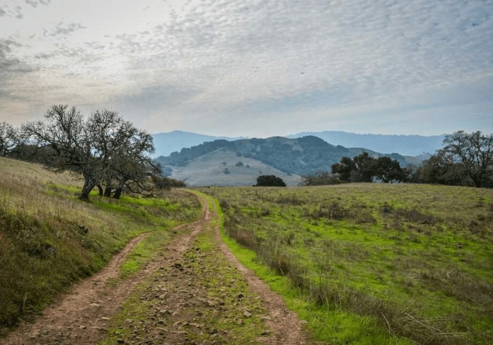
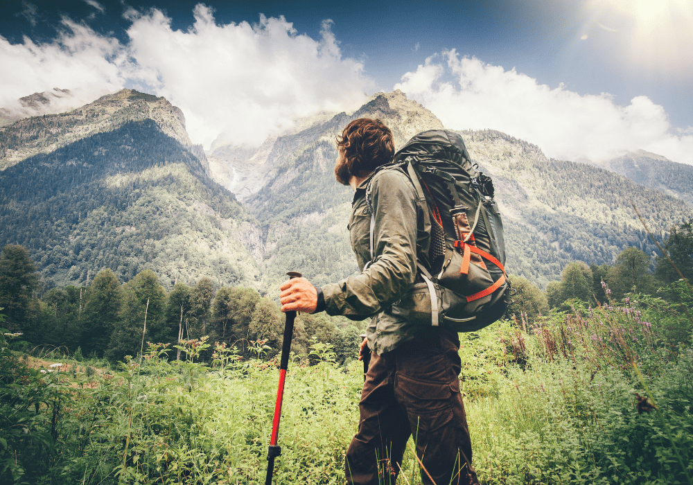
The Michako Trail is a trail within the Mount Burdell Open Space that connects some of the southern trails. A mile-long trail, Michako Trail goes through open terrain. The trail is slightly parallels the San Marin Fire Road and intersects with the San Carlos Fire Road. It is an enjoyable trail through the preserve. However, the sun can make hiking strenuous. It is best to bring water and sun protection.
Table of Contents
About the Mount Burdell Open Space Preserve
Managed by the Marin County Parks, the Mount Burdell Open Space Preserve houses the 1,500 feet high Mount Burdell and seasonal pond, Hidden Lake. The preserve is home to a wide variety of flora and fauna – with increased population of frogs and salamanders during the wet season. Some portions of the preserve are grazed by domestic cattle. The Mount Burdell Open Space Preserve was purchased in 1977 by the Marin County Open Space District. The preserve boasts the titanic Mount Burdell, standing tall and offers stellar view of the entire Bay Area. En route to the summit, visitors encounter lush grasslands and dense forests filled with the finest and oldest oak and bay tree specimens.
Trails at the Mount Burdell Open Space Preserve
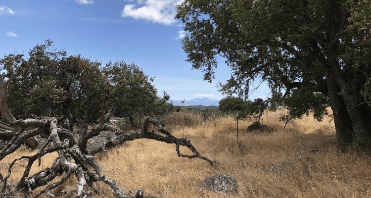
The Mount Burdell Open Space Preserve is home to a number of trails and fire roads. It is also proximate to the Olompali Historic State Park. The preserve is surrounded by fire roads, encircling the entire Mount Burdell area. The San Andreas Fire Road leads to the Deer Camp Fire Road, then to the Cobblestone Fire Road and eventually to the Ridge Fire Road where the Mount Burdell Trail is located. The Michako Trail is a popular trail as it dissects the entire preserve in half. The Old Quarry Trail, meanwhile, is a trail that connects the San Carlos Fire Road with the Ridge Fire Road. All in all, there are plenty of trails surrounding the preserve. A map of the area is highly recommended when hiking within the area.
Top 3 Adventure Hacks
1) It Pays to be Prepared
At times, trails may intersect and it is often hard to know if you are still on the right track. It is best to do some research about the area. A state park can have as much as 60 miles of trails. Visit the locality’s website or information center for a detailed trail map.
2) Bring Extra Clothing
You might come across streams, rivers, waterfalls, lakes and it pays to bring extra clothing. A handy dry sack can keep your stuff organized inside your bag.
3) Stay Warm
Did you know that consuming too little water can aggravate hypothermia? Stay hydrated, dress in layers, carry a hate, and bring rain gear for long treks. Avoid cotton as it can absorb water and keep you cold.
If you need gear, we are always and testing the best outdoor adventure gear in our shop.
Related Posts
GETTING HIGH & SOMETIMES LOW: Humphreys Peak, AZ – 2/26/22 & 6/4/22
This is the second of our Getting High Series where
Eat Like Royalty Before & After Your Adventures
Estimated reading time: 39 minutes I originally wrote this
Backpacking on a budget: Is it Possible? 9 Reasons The Answer is, Yes!
Backpacking is a wonderful pastime that gets you healthier
Pingback: San Carlos Fire Road - Mount Burdell Open Space
Pingback: San Marin Fire Road - Mount Burdell Open Space
Pingback: Quarry Trail - Mount Burdell Open Space
Pingback: Middle Burdell Fire Road - Mount Burdell Open Space
Pingback: Burdell Mountain Fire Road - Mount Burdell Open Space