Mount Shasta Summit Via Hotlum Bolam Ridge Route
Table of Contents
Mount Shasta Summit Via Hotlum Bolam Ridge – Mount Shasta Wilderness
Location: Mount Shasta, California
Length: 12.6 miles
Difficulty: intermediate
Features: Hiking, Rock climbing, Snowy peak, no dogs, crevasses, icy trail
About the Mount Shasta Summit Hike
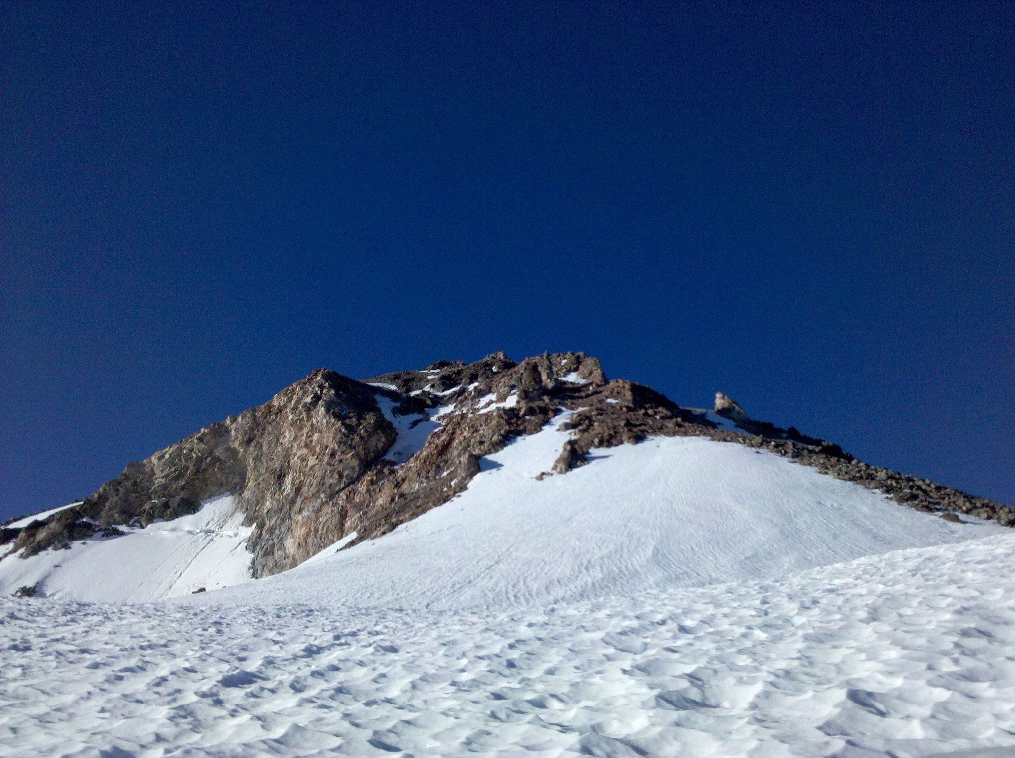
From your location, climb straight or diagonally east towards the first snow ramp above the Hotlum Glacier. When you reach the elevation of 12,000 feet, traverse towards the ramp. This steep slope leads atop the first chute with 13,000 feet elevation called the “Step”. Climb a few more feet to reach the Rabbit ears rock towers.From there, travel diagonally to the right onward to Bolam Glacier and continue north to the tip of the summit pinnacle. There’s also the option of taking left from the Rabbit Ears to pass by the Sharktooth on our way to the summit pinnacle.
It’s the second most visited route to Mt. Shasta after Avalanche Gulch in the summer. Most of the year, the trail is snowy and rocky as the summit is nearing. Though can be challenging, the crevasses are sights sought by climbers. There are available camp sites and stops along the way. Best option is to take camp from around 8500 feet. That way, you can carry a full pack and make minimal efforts for climbing. There are also camps high up the mountain with great views of the crevasses.
Trails In The Mount Shasta Wilderness
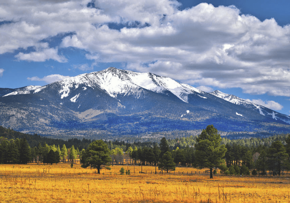
The most popular trail going up Mt. Shasta is Avalanche Gulch as it’s easy to access and trail along. Next is the Hotlum Bolam Ridge in the opposite side. It’s the more technical and challenging route. Weather permitting, you can see views as far as Northern California, Southern Oregon, and Mt. Hood is Southern Cascades.
Top 3 Adventure Hacks
1) Trail with caution
It is highly recommended trail only when you have enough experience or going with professionals. A lot of steep slopes and traverse paths ahead that could be very icy during winter with large crevasses as well. Bring proper gear and outfit too.
2) Not crowded route
It opens in Spring and has a descent number of visitors. But because of this challenging terrain, it’s less crowded during peak seasons.
3) Spot the crevasses
Take note of the crevasses first to marvel in these rock structures and also to avoid problems when going down back to camp or the trailhead.


