Pluto’s Cave
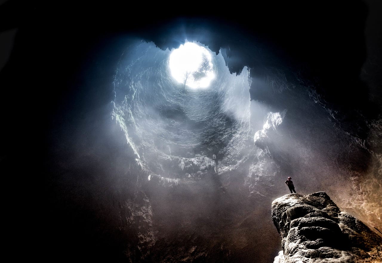
Pluto's Cave Trail – Mount Shasta Wilderness Location: Montague, CA Length: 0.5 to 1 mile Difficulty: Intermediate Features: Hiking trails, backpacking, cave, bird watching,
Haystack Butte
Haystack Butte Trail – Mount Shasta Wilderness Location: Montague, CA Length: 2.2 miles Difficulty: Moderate Features: Hiking trails, backpacking, wilderness, bird watching,
Goosenest Trail
Goosenest Trail – Klamath National Forest Location: Klamath National Forest, Weed, CA Length: 1.7 miles Difficulty: Intermediate Features: Hiking trails, backpacking, bird
Brewers Creek Trail
Brewers Creek Trail – Mount Shasta Wilderness Location: East side of Mount Shasta, Shasta National Forest, CA Length: 3.2 miles Difficulty:
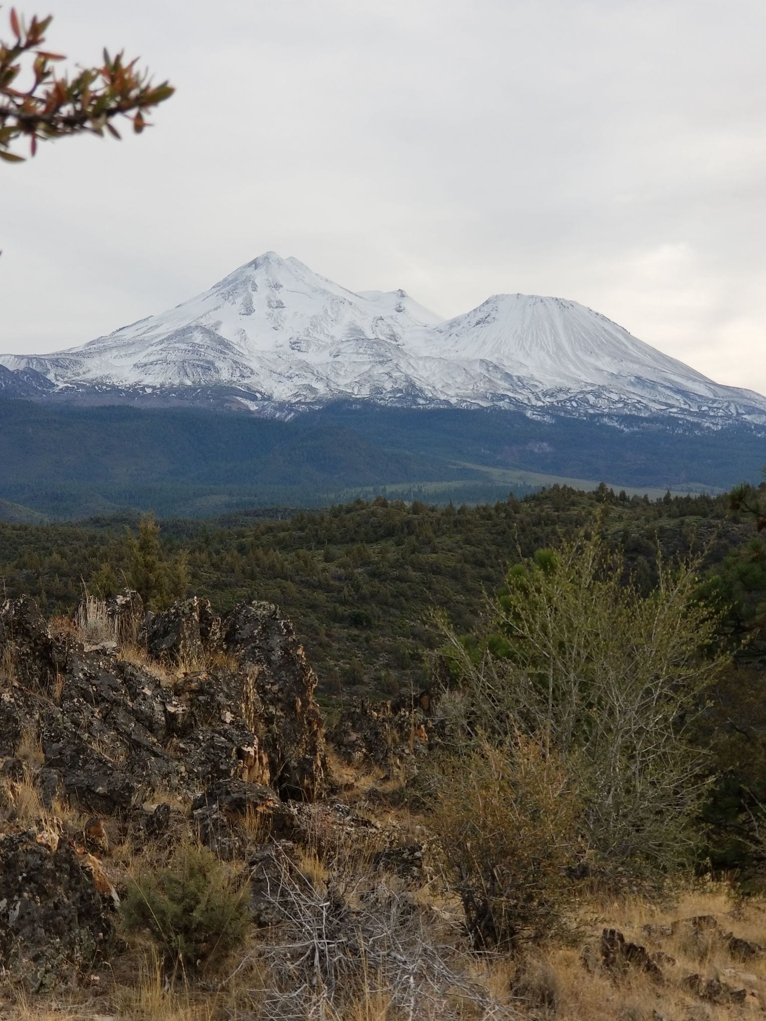
Mount Shasta Summit Via Hotlum Bolam Ridge Route
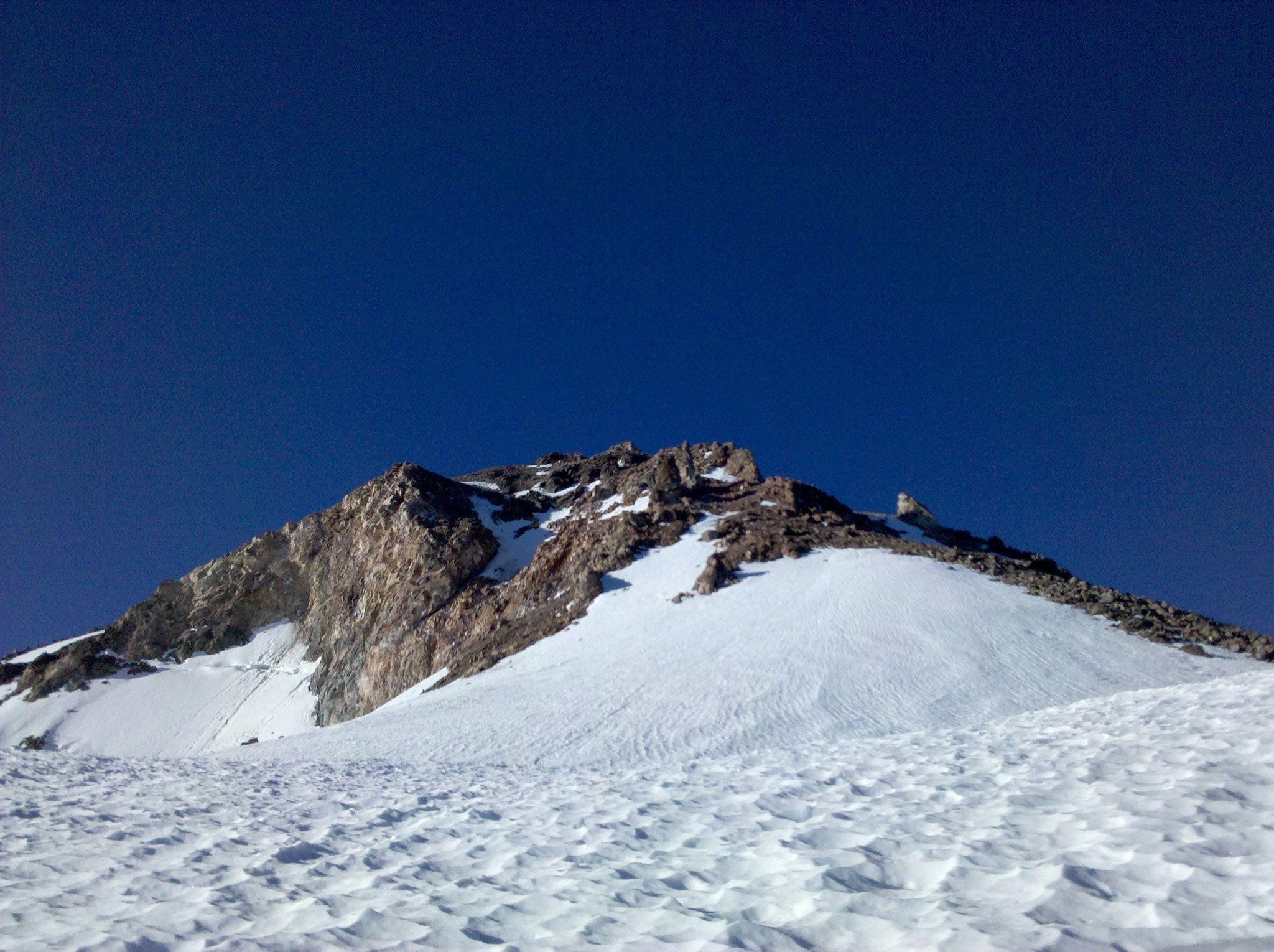
Mount Shasta Summit Via Hotlum Bolam Ridge – Mount Shasta Wilderness Location: Mount Shasta, California Length: 12.6 miles Difficulty: intermediate Features: Hiking, Rock
Cougar To Mount Shasta Trail
Cougar To Mount Shasta Trail – Mount Shasta Wilderness Location: Weed, California Length: 43.8 km Difficulty: Intermediate Features: Ohv / off road
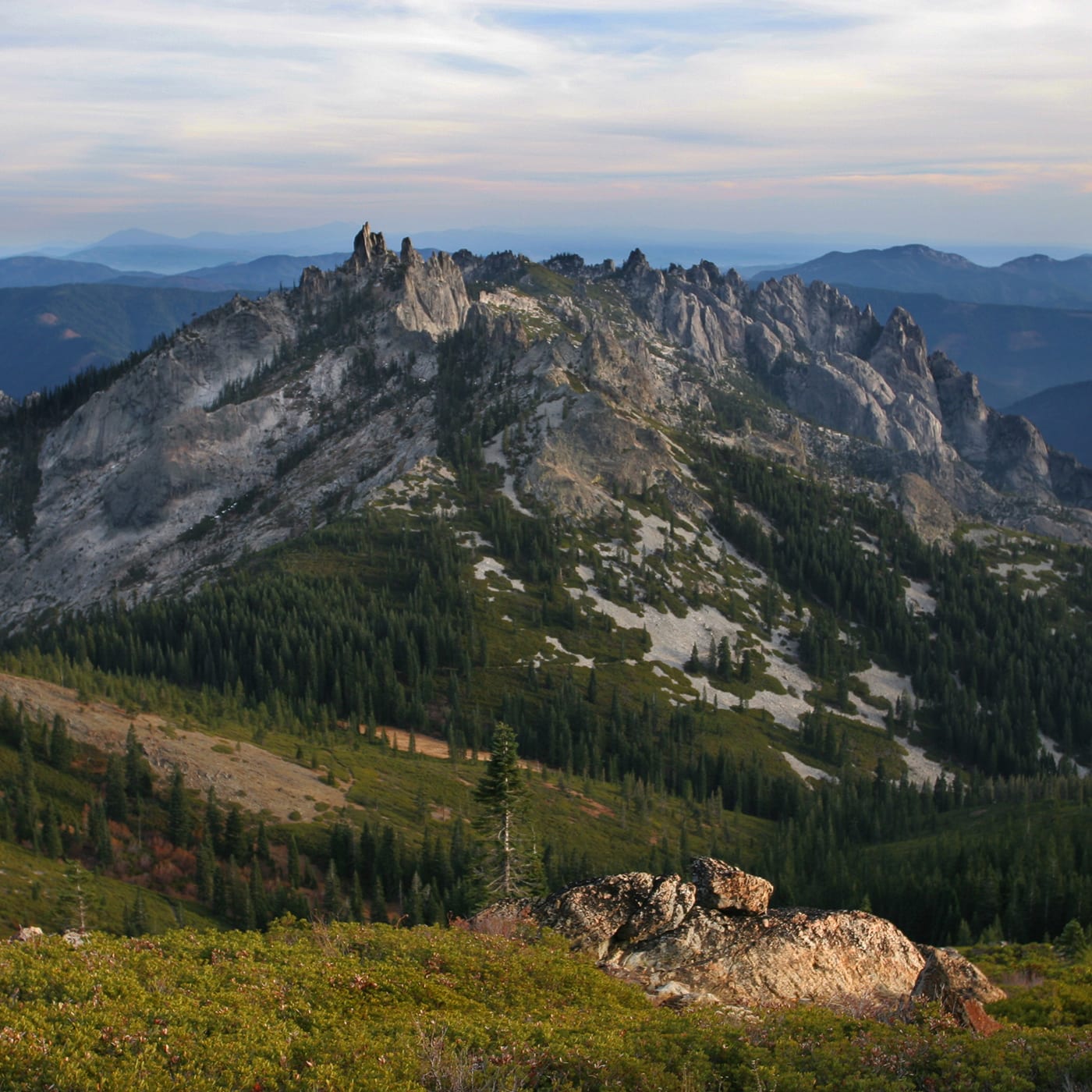
Crags Trail / Indian Springs Trail – Castle Crags State Park
Crags Trail / Indian Springs Trail - Castle Crags State Park Location: Castella, CA Difficulty: Moderate Features: Hiking trails, bird watching,
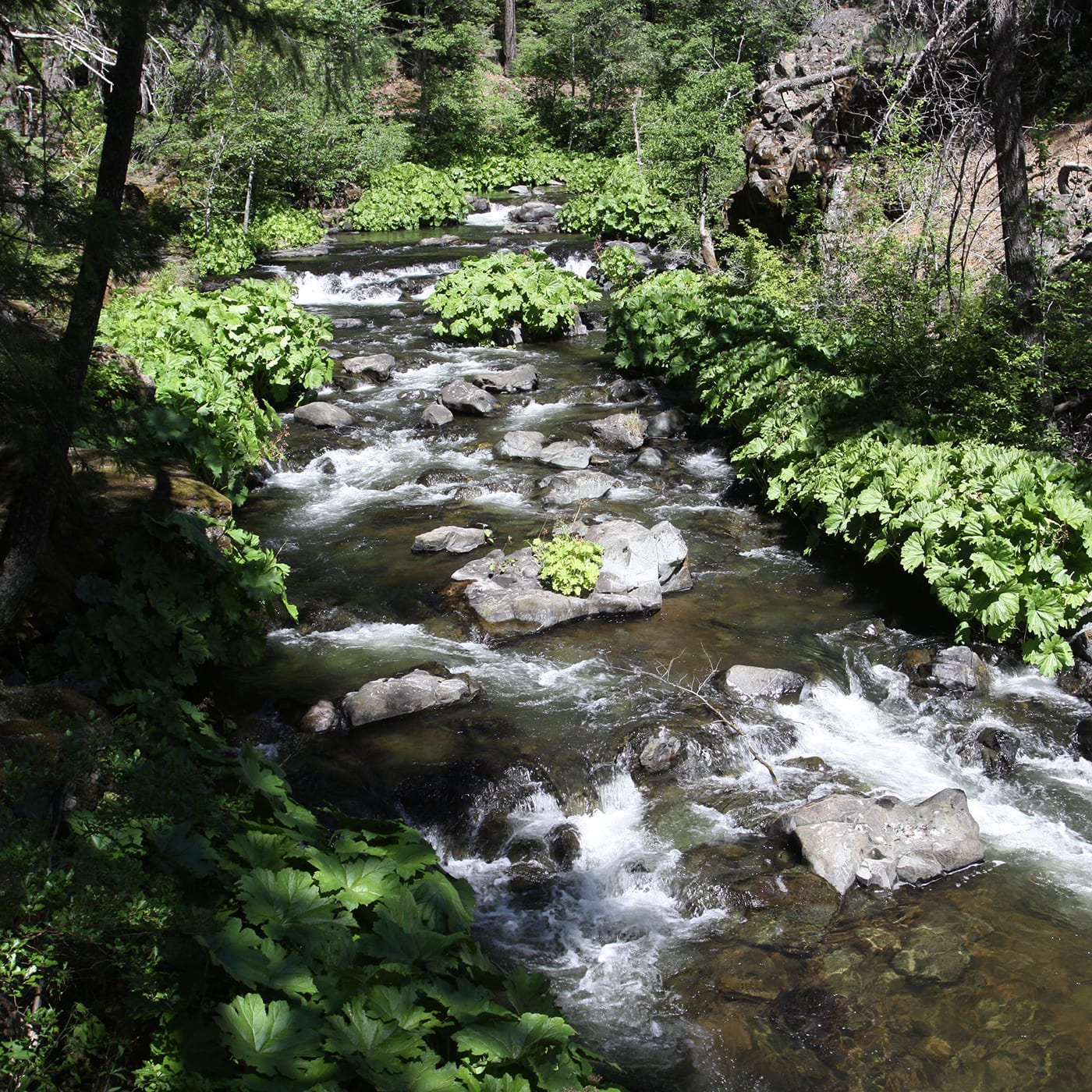
Squaw Valley Creek Hiking Trail, Mount Shasta California
Squaw Valley Creek Hiking Trail Location: Shasta National Forest, Lakewood, CA Difficulty: Easy Features: Hiking trails, dogs allowed, wildlife observation, incredible scenery An


