Death Valley National Park
Location: California-Nevada border
Difficulty: Intermediate
Features: Hiking, Cycling, Driving, Stargazing, Sightseeing
Table of Contents
About the Death Valley National Park
Death Valley National Park is an American national park that straddles the California–Nevada border, east of the Sierra Nevada. It is the largest national park in the contiguous United States, and the hottest, driest and lowest of all the national parks in the United States.
Trails in the Death Valley National Park
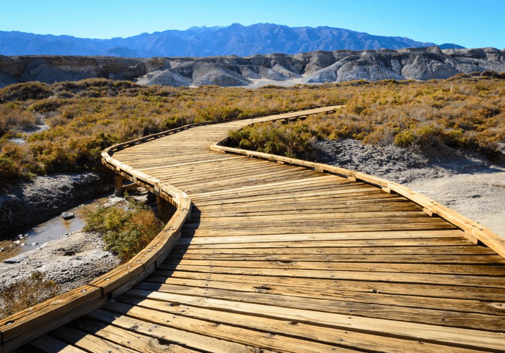
The park boundaries include Death Valley, the northern section of Panamint Valley, the southern section of Eureka Valley, and most of Saline Valley. The park occupies an interface zone between the arid Great Basin and Mojave deserts, protecting the northwest corner of the Mojave Desert and its diverse environment of salt-flats, sand dunes, badlands, valleys, canyons, and mountains.
Top 3 Adventure Hacks
1) Careful planning and attention to detail
In the hotter months, it is best to avoid hiking at Death Valley since it is most well known for being one of the hottest places on earth. Death Valley’s weather is influenced by the surrounding mountain ranges and the sparse rainfall. Summer daytime’s temperatures of 120°F are routine, dropping into the 90-degree range at night.
Do not visit Death Valley without a Hydration Pack.
2) Ensure your car is outfitted with off-road tires
If you are planning to cruise the park’s dirt roads, make sure that you have spare tires, flats are especially common on the park’s gnarly 4×4 roads. Gas is available inside the park at Panamint Springs, Stovepipe Wells, and Furnace Creek, but bring extra if you are venturing beyond the pavement. No matter where you plan to travel within the park. Also ensure that you carry plenty of water and maps—cellphone signal and GPS’s devices does not work in most of Death Valley,
3) Deep Research on Death Valley National Park History
It is always wise to know and to learn more about the history of the park or view a Death Valley map. Be conscious and protect yourself by paying attention to the surroundings. Death Valley is pockmarked with thousands of shafts from abandoned mines, and though the park has been working on it for a decade, it has only been able to sign and barricade a portion of them.


