King Crest Trail
Table of Contents
King Crest Trail – King Range National Conservation Area
Location: King Range National Conservation Area, Humboldt County, CA
Difficulty: Moderate
Features: Hiking trails, bird watching, bike friendly, dogs allowed, horseback riding, ocean views
The King Range National Conservation Area is a National Conservation Area unit of the National Landscape Conservation System where the King Mountain Range is found. The King Range is adjacent to the Mendocino Triple Junction where the Pacific Plate, North American Plate, and the Juan de Fuca Plate – all tectonic plates – are found. The area is frequented by earthquakes caused by the plate movements. Moreover, King Range is also home to a variety of activity options, one of which is hiking.
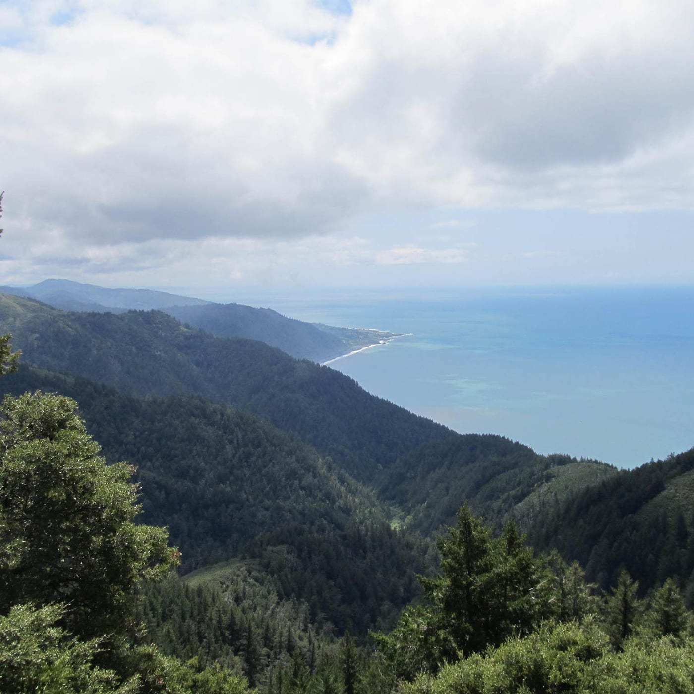
The King Crest Trail is a moderately difficult loop that features a picturesque view of King’s Peak, the highest point on the Northern California Coast. It also provides stellar view of the ocean.
Top 3 Adventure Hacks
1) Bring a camera
The King Crest Trail offers a breathtaking view of King’s Peak, the highest point in the Norther California Coast. It also provides a beautiful view of the ocean. You don’t want to miss taking a picture of this scenic view.
2) Don’t get lost 
Trails can go for miles. Of course, you don’t want to get lost! A map, GPS, compass are essential devices that can help you located campsites, water, and an emergency exit route in case of emergency.
3) Wear appropriate footwear
Whether it may be a short hike or a long trek, it is best that you wear appropriate footwear. Trail shoes are best for short hikes while hiking boots are best for technical terrain.


