Schonchin Butte Fire Lookout Trail – Lava Beds National Monument
Location: Tulelake, CA Length: 1.5 miles Difficulty: Intermediate Features: Hiking trails, backpacking, waterfalls, bird watching, dogs allowed, wildlife observation, camping, wilderness About the Schonchin
Medicine Lake Volcano, Mount Hoffman – Traditional Route
Location: Tulelake, CA Length: 13.3 miles Difficulty: Intermediate Features: Dog Friendly, Hiking, Nature Trips, Skiing, Bird Watching, Forest, Views, Wild Flowers, Wildlife, Snow About The Medicine Lake Volcano Trail Medicine Lake Volcano, Mount Hoffman
Little Sand Butte Trail – Lava Beds National Monument
Location: Tulelake, CA Length: 1.8 miles Difficulty: Intermediate Features: Hiking trails, backpacking, waterfalls, bird watching, dogs allowed, wildlife observation, camping, wilderness About the
Glass Mountain Trail – Lava Beds National Monument
Location: Tulelake, CA Length: 4.9 miles Difficulty: Difficult Features: Dog Friendly, Kid Friendly, Hiking, Nature Trips, Walking, Bird Watching, Views About the Glass Mountain Trail The Glass Mountain Trail is
Sunshine Caves Trail & Cave Loop Road
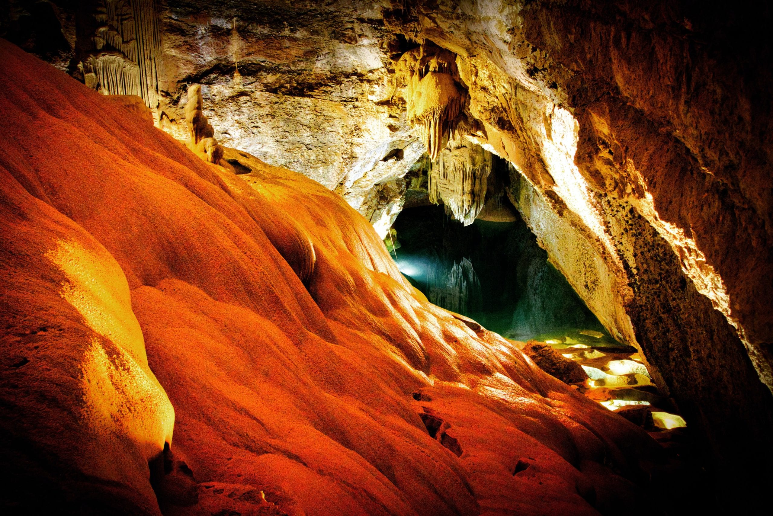
Location: Tulelake, CA Length: 1.4 miles Difficulty: Easy Features: Hiking, Nature Trips, Walking, Cave, Wildlife, No shade About the Sunshine Caves Trail Sunshine Cave is one of the few
Pluto’s Cave
Pluto's Cave Trail – Mount Shasta Wilderness Location: Montague, CA Length: 0.5 to 1 mile Difficulty: Intermediate Features: Hiking trails, backpacking, cave, bird watching,
Haystack Butte
Haystack Butte Trail – Mount Shasta Wilderness Location: Montague, CA Length: 2.2 miles Difficulty: Moderate Features: Hiking trails, backpacking, wilderness, bird watching,
Goosenest Trail
Goosenest Trail – Klamath National Forest Location: Klamath National Forest, Weed, CA Length: 1.7 miles Difficulty: Intermediate Features: Hiking trails, backpacking, bird
Brewers Creek Trail
Brewers Creek Trail – Mount Shasta Wilderness Location: East side of Mount Shasta, Shasta National Forest, CA Length: 3.2 miles Difficulty:


